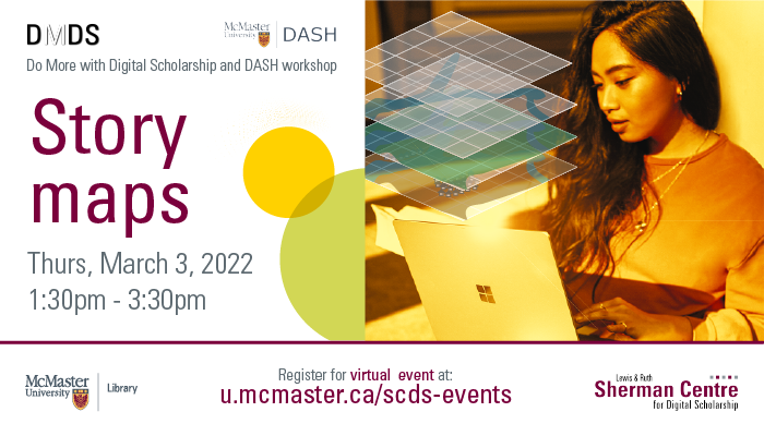
StoryMaps
Learn how to make maps tell stories with ArcGIS StoryMaps. This multimedia digital storytelling tool allows you to incorporate maps and apps from your ArcGIS account, as well as text, photos, and videos. At this workshop, Christine Homuth (Spatial Information Specialist) will provide attendees with an introduction to storytelling through maps using ArcGIS Online and ArcGIS Storymaps. No prior knowledge of GIS is required. This session will be recorded and shared publicly.
Workshop Preparation
Sign up for an ArcGIS Online account:
- Go to https://www.arcgis.com/index.html.
- Click “Sign In” > Create an account > Create an ArcGIS Public Account (or free trial).
- Complete the form and verify your account.
Current students, staff, and faculty may request an organizational account by contacting libgis@mcmaster.ca.
Facilitator Bio
Christine Homuth (she/her) draws on her wide range of experiences to provide support for teaching and research to students, researchers, and faculty members working with Geographic Information Systems (GIS) and geospatial data. Some of her more recent work includes georeferencing historical maps and developing web map indexes as finding aids to make the Lloyd Reeds Map Collection’s resources more readily accessible.
Workshop Slides
Workshop Worksheet
Additional Resources
GIS Services
Questions? Don’t hesitate to reach out to us at libgis@mcmaster.ca.
Esri
- Discover the possibilities with ArcGIS StoryMaps!
- Getting started with ArcGIS StoryMaps
- Nine steps to great storytelling
- Planning and outlining your story: How to set yourself up for success
- Writing accessible ArcGIS StoryMaps content
- Getting started with accessible storytelling